
This is the fourth article in the “Understanding Aviation” series. The previous ones have covered Network Planning, Route Development and Airport Capacity. This article will talk about METARs.
This is officially the fog season in India. From Amritsar to Guwahati, the region is engulfed in dense fog – typically early in the morning. This fog belt also covers Delhi – India’s largest airport by area and traffic, leading to disruptions. While the other airports in the region – Amritsar, Lucknow, Varanasi, Patna, Guwahati see limited night parking by airlines, Delhi sees maximum aircraft being parked for the night and is a major maintenance base for most airlines. A disruption at Delhi has a cascading effect across the airline network and a major disruption could mean it could take a day or two for the network to return to normal.
And this when Delhi – has the best in class navigational aids. A cat III B ILS (Instrumentation Landing System) which allows landing in visibility as low as 50 meters!
Pilots and the entire aviation fraternity relies on METAR (Meteorological Report) to understand the weather at a particular airfield. It is a standardised and worldwide recognised format, like most other things in aviation for the sake of commonality and interoperability.
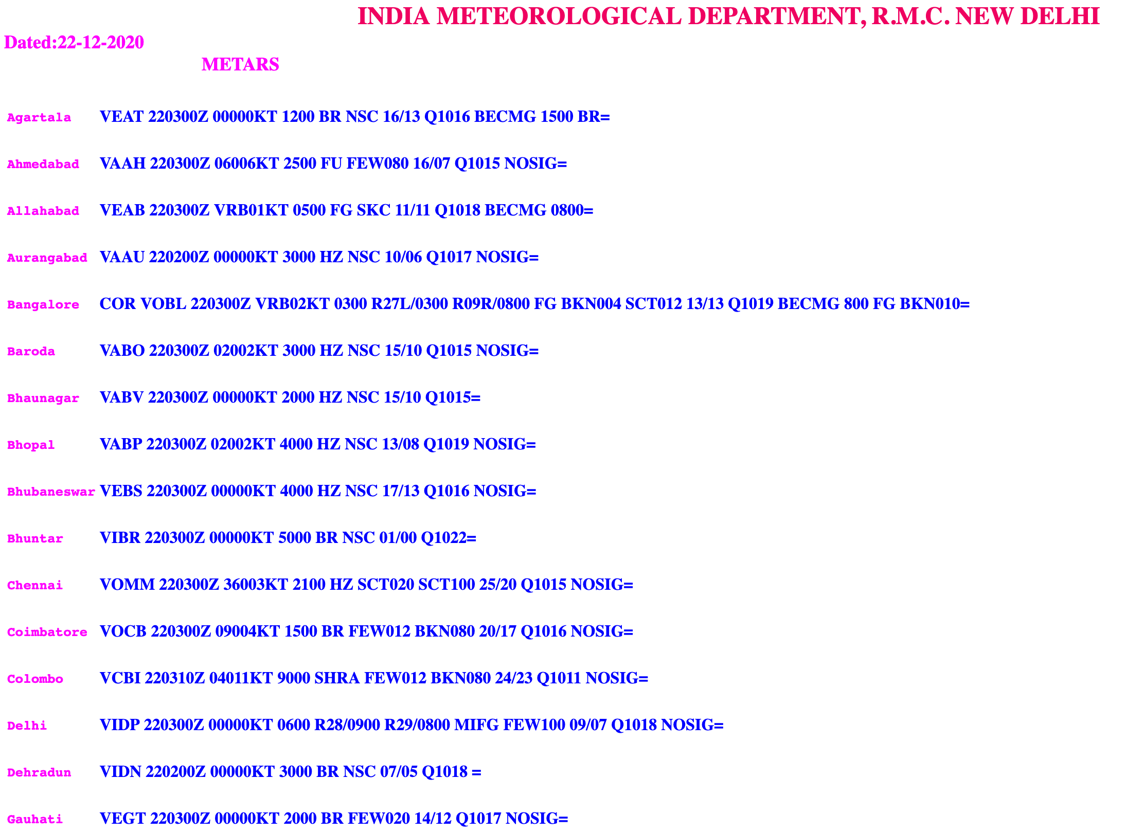
If you are in India, the Indian Meteorological Department (IMD) offers weather service for aviation. The METARs for airports in India can be found at this link: METAR – Indian Airports. This is a public link and all of us who are students of aviation can access and study the METAR.
What does a METAR contain?
A METAR typically contains
- Time of release (Given in Zulu time or UTC – Universal Coordinated Time)
- Wind speed and direction (in Knots)
- Visibility (in meters)
- Runway Visual Range (RVR) (in meters)
- Weather conditions (Fog, Haze,etc)
- Cloud cover (in feet)
- Temperature ( in degree Celsius)
- Dew Point (in Degree Celsius)
- Pressure
- Information about Rain and Thunderstorm
The cloud coverage is calculated in “oktas” – a unit of measurement for cloud cover. How many eighths of a circle are covered by cloud cover in the sky defines cloud coverage in a METAR.
For 1 or 2 oktas, the code used is FEW, for 3 – 4, it is Scattered denoted by SCT, for 5 – 7, it is Broken denoted by BKN and when the entire sky is filled with clouds it is denoted as OVC which is Overcast.
Sometimes, during heavy winds – the METAR lets us know that there are gusts of winds with the lower and higher range.
How often is a METAR released?
METARs are issued at half hourly or hourly intervals. When weather patterns are constantly changing, a METAR could be issued more often.
What other things can I know from the METAR?
METAR also informs pilots about Rain or Snow. “RA” stands for rain while “SN” for snow. “DZ” denotes drizzle. A “-” before the code denotes light while “+” indicates heavy.
Let’s take two examples. The first one is of Delhi
VIDP 220200Z 00000KT 0300 R28/1200 R29/1000 FG FEW100 08/07 Q1017 NOSIG=
This METAR was issued for VIDP (ICAO code of Delhi) at 0200Z i.e. 0730 hours local time on December 22. There is no wind. The visibility was 300 meters at the airfield but Runway 28 was reporting 1200 meters visibility while it was 1000 meters at Runway 29. It is foggy with few clouds at 10,000 feet above ground level and the current temperature is 08 degree Celsius and dew point is 07 degree celsius. The mean sea level pressure is 1017 hpa. NOSIG means that there isn’t any significant change expected in the next few hours.
The second example is that of Nagpur – a simple METAR
VANP 220200Z 01004KT 3000 HZ NSC 12/05 Q1018 NOSIG=
Not affected by fog, the airport has 04 knots of wind from 10 degrees which is North of North East (NNE), a visibility of 3000 meters, Haze without cloud cover and a temperature of 12 degrees with dew point of 05 degree celsius.
Coming back to where we began, with fog season around – aviation geeks are glued to Flightradar24 checking on diversions, delays and more. How does one know its fog, or about to become foggy or about to clear up?
NetworkThoughts reached out to Shantanu Patil – a weather enthusiast to know more. He explained the phenomenon in detail.
Fog is basically a sort of cloud which is close to the ground level. These clouds could be thick or thin, in layman’s language – the ease of visibility.
What causes Fog – when clouds with water vapor are close to the ground level and the land temperature is warmer, the water vapor condenses into extremely tiny water droplets. Due Point is also an important parameter when it comes to Fog formation. It is the temperature when air is 100% saturated, and helps condense the water vapor into water droplets. These droplets float around thus giving the effect which we know as Fog. Dust and other pollutants which are also part of our surroundings add to the thickness or lightness of the fog. This entire effect is termed as “Advection” in Meteorological language.
Depending on the Humidity and the surrounding temperatures, fog can form or vanish as quickly as it has formed. Depending upon the density of the parameters present in the clouds, Fog like conditions can prevail well over couple of days. Winds normally help move the fog bands across the areas thus covering greater portions with fog.
If you find it difficult to read a METAR, there are multiple sites online which help decode a METAR. As you learn decoding it yourself, it would be worthwhile to cross check if you decode the METAR correctly or not by using one of the sites. Just google “Metar Decoder” and you will get a plethora of sites which offer this service for free.
Follow NetworkThoughts on Twitter, Facebook, Telegram and YouTube.
Superb, short and condensed read with fog thick of knowledge.
your content is too good….well done